Where to place green infrastructure to reduce urban heat? Next generation models can help
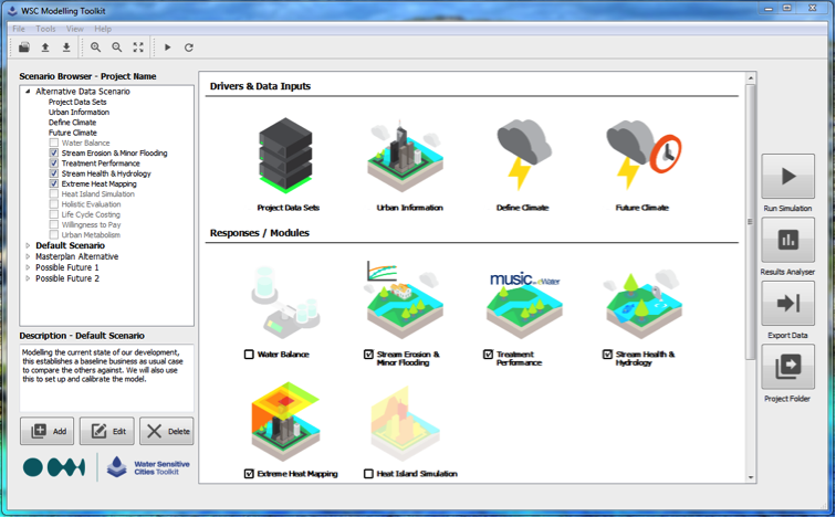
In April 2017, practitioners in Perth enjoyed learning the ropes of the CRC for Water Sensitive Cities’ new numerical model, the Water Sensitive Cities (WSC) Toolkit.
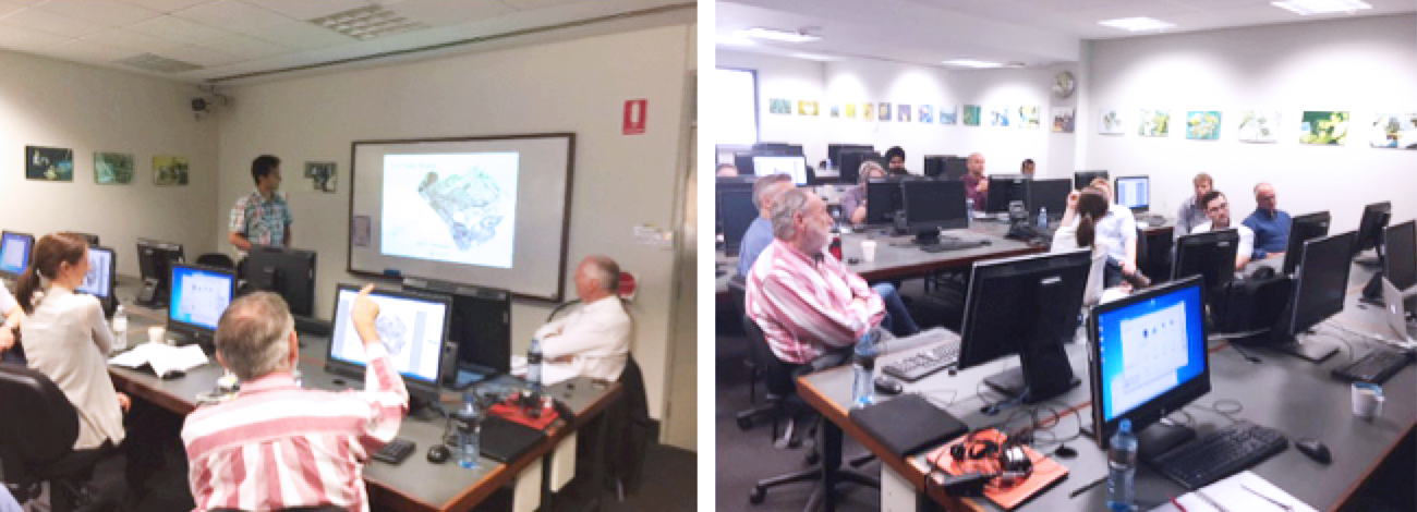
A training workshop on the WSC Toolkit’s module for urban heat mitigation was held, supported by a local case study kindly provided by the City of Belmont, a major redevelopment near Perth airport.
The workshop was attended by a wide range of practitioners including state and local government representatives, consultants, planners, and developers, who engaged in a collaborative discussion about ways to mitigate urban heat. It was a multidisciplinary audience with experts from engineering, asset management, landscape architecture, planning, and urban design.

Mitigating urban heat has become a hot topic in Western Australia, with emphasis on creating cooler, more liveable public open spaces and streetscapes. The WSC Toolkit offers practitioners a fast, visual, and reliable means of assessing and demonstrating the multiple benefits of a wide range of green infrastructure and practices for urban liveability – interventions like green roofs, wetlands, and street trees, and practices such as open space irrigation that uses recycled water.
“It was a great session. We discussed different ways of using the information gained from the WSC Toolkit to support the planning process, infrastructure design and placement. I was also very pleased that participants provided some great insights into how the data going into and coming out of the Toolkit can be combined with many existing datasets for Western Australia,” explained Project Leader Dr Peter Bach.
Feedback from workshop participants was positive, with the Water Corporation and Landcorp now exploring possible applications of the tool in upcoming projects. Ian Kininmonth, Senior Urban Planner for the Water Corporation, explained that the tool will be extremely valuable for users. “The urban heat module of the WSC toolkit enables non-technical users to generate maps and data to show how different land use and management scenarios impact positively or negatively on urban heat.
“It will be extremely valuable for a number of projects we are undertaking. As one example, I’ll be using it to evaluate the urban heat implications of various land use scenarios for the Strategic Water Resource Precinct (aka buffer) of the Subiaco wastewater treatment plant. And I can see the tool easily being applied to a multitude of other urban planning and liveability projects, from the site to the regional scale.”

Although the WSC Toolkit is still under development, trialling of the software has been underway since the start of 2017 in South Australia and about to begin in the Perth–Peel region. More training workshops are being planned around the country.
For more information about these workshops and the WSC Toolkit in general, contact Dr Peter Bach or visit the website.