VCCCAR report: A multi-scale assessment of urban heating in Melbourne during an extreme heat event and policy approaches for adaptation
Abstract
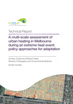
Airborne thermal remote sensing can provide an excellent snapshot of spatial variability in land surface temperatures across the urban landscape. This can be used to broadly identify hot-spots across the landscape for prioritising the implementation of excess heat mitigation measures such as green infrastructure. Thermal mapping is an excellent tool for communicating the influence of urban design on urban climate and can help guide sustainable urban development. This report assesses both the influence of green infrastructure on land surface temperatures, and provides an assessment of the practical application of high resolution airborne thermal remote sensing for policy development targeting excess heat mitigation.
Drawing primarily on airborne thermal remote sensing data collected during an extreme heat event in Melbourne in February 2012, this study assessed the role of different urban land surface types and design on land surface temperatures in two study areas in the City of Port Phillip (CoPP) and the City of Melbourne (CoM). Complementary data was also drawn from satellite remote sensing and ground based thermography.
