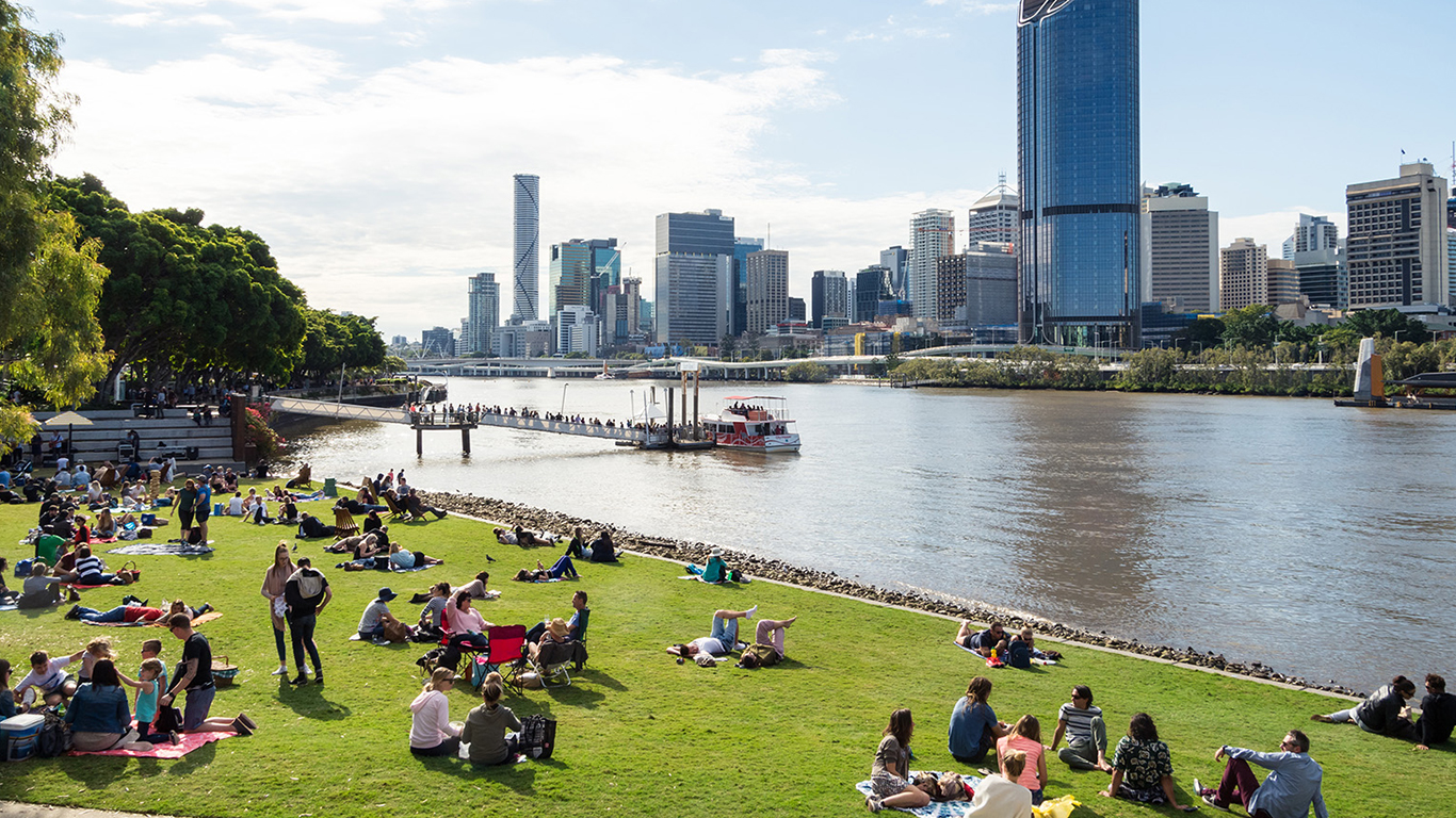
We’re making great strides in boosting walkability
One of the important roles of the CRC for Water Sensitive Cities is influencing on-ground practice, by incorporating water sensitive principles into industry projects and formal guidance.
A great example is our Queensland Regional Manager Chris Tanner’s recent involvement in the Planning Working Group for the Institute of Public Works Engineering Australasia Queensland’s Street Design Manual: Walkable Neighbourhoods.
Chris helped boost recognition of water in street corridors for the part it plays in urban cooling, amenity, flood resilience and stormwater quality management and irrigation reuse.
The Street Design Manual is the seminal publication for the design of Queensland’s residential neighbourhoods and the third IPWEAQ publication on street design and planning. It is a contemporary guide for the design and development of Queensland’s residential neighbourhoods developed for industry by industry.
An important element of the new manual is the recognition of the role streets play in connecting us, enabling the efficient movement of people between spaces with easy access to parks and neighbouring precincts. It also offers access options for active transport delivering safer neighbourhoods and a sense of community. Well planned streets influence how people interact.

The manual complements the Queensland Government’s Model Code for Neighbourhood Design, the Planning Regulation 2017, Economic Development Queensland guides and codes, and other policy initiatives that deliver best practice guidelines and technical design criteria for walkable residential streets. Download Street Design Manual: Walkable Neighbourhoods.
Walkable Box Hill
An urban design solution that imagines interactive community spaces, urban farming, and greater walkability along cool green corridors around the Box Hill Metropolitan Activity Centre has just won the Our Future Cities 2020 Interdisciplinary Student Design Competition and seminar series, which ran in July and August this year. Read the story.
Linking water planning with urban planning
From a big picture perspective, the CRCWSC’s IRP3 program links water planning with urban planning to achieve walkability and other elements of resilient, sustainable, productive and liveable places. Pursuing a planning approach that recognises the interlinkages between water, urban form and other urban systems is the key focus of IRP3, which has taken an action research approach to examining how different types of urban development can be deliberately guided, at a range of planning scales, to achieve water sensitive outcomes.