We are considering retiring the Scenario Tool from October 2025 unless other hosting arrangements can be found. Contact WSCA for more information, or to discuss opportunities for further development or web hosting.
You can find out more here: Access arrangements for Water Sensitive Cities (WSC) Tools
Model water sensitive development options
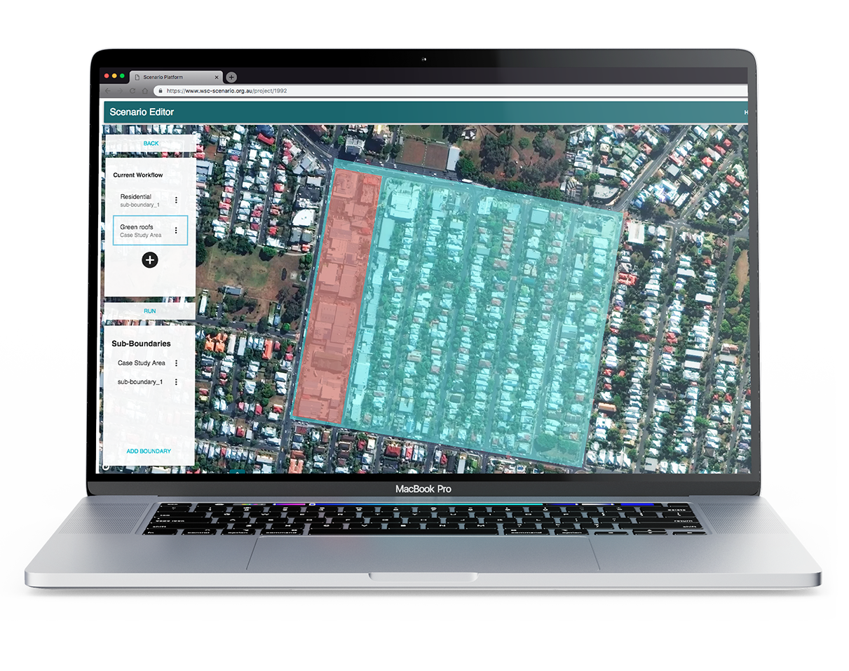
The Water Sensitive Cities Scenario Tool is used for planning and assessing water sensitive development options.
It enables users to simulate urban development and the performance of water management interventions dynamically over time. It is accessed online via a web browser and uses GIS to inform its modelling.
This powerful online geospatial modelling tool:
- simulates real life scenarios at the street, precinct or city scale
- outputs heat mapping
- models street level air temperature at fine spatial scales
- quantifies the flow of water in and out of an area.
The tool provides baseline data about land cover and buildings, and Australian meteorological conditions. Or, you can upload customised data sets.
The easy-to-use interface showcases 3D models and the underlying data layers. And a dashboard of modelled outcomes from CRCWSC research can inform decision making across different development scenarios.
Interested in applying the Scenario Tool?
Where to find more information
You’ll find more information about Urban planning, Urban heat and Urban water cycles on the following pages:
Useful resources
Four integrated modules assess the benefits of water sensitive developments
The Scenario Tool integrates four rigorously tested analytical modules:
Urban Development Module
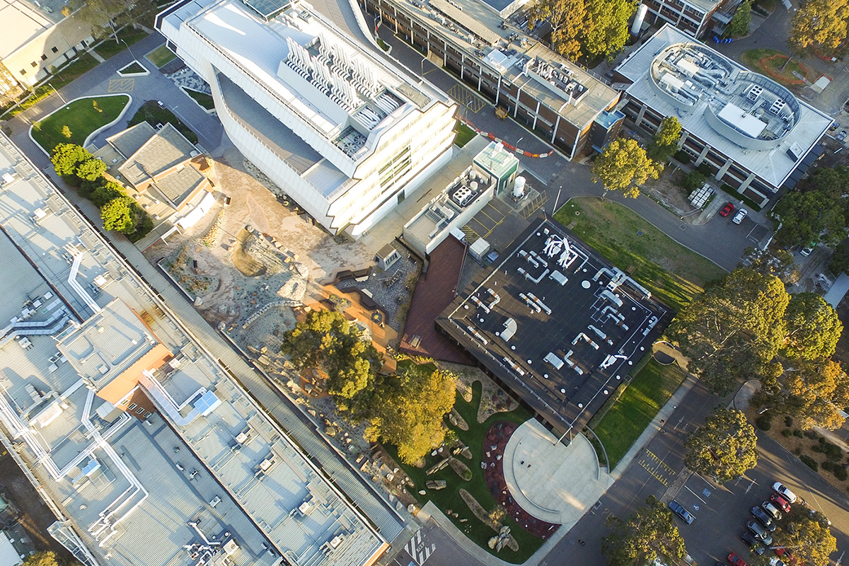
Use this module to define urban development scenarios, simulating urban development and infrastructure adaptation. These aspects can be combined to simulate cities as complex and dynamic systems, scaled from street to urban catchment size.
Simple Land Surface Temperature Module
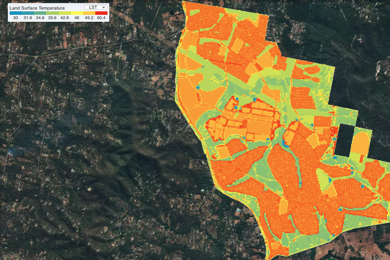
Use this module to assess the spatial distribution of ‘extreme heat day’ land surface temperatures of a given site and given development scenario (e.g. you can test the impact of adding trees or irrigated open spaces). The module works by applying temperature data from surface temperature sensors that reflect existing or representative land cover, to provide insights on the urban heat island effect.
TARGET (The Air-temperature Response to Green/Blue infrastructure Evaluation Tool) Module
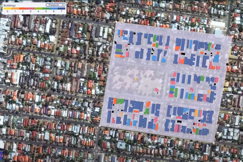
Use this module to assess air temperature and human thermal comfort of a given site. For example, what happens to urban heat if hard surfaces are converted to natural ones, or if unirrigated surfaces are converted to irrigated ones?
Urban Water Cycle Module
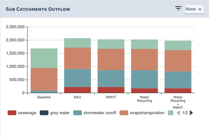
Use this module to assess the flow of urban water streams for an area based on user-defined water management strategies. For example, how will changes to the urban form and water cycle infrastructure affect water demand and runoff at the lot, precinct and catchment scale?
